Site of former dock built on the shores of Lake Nabor Carrillo, as part of the Lake Texcoco Ecological Park project. Its structure was demolished shortly after being built, without ever being used.
19°28'37.7"N 98°58'11.9"W
Site of former dock built on the shores of Lake Nabor Carrillo, as part of the Lake Texcoco Ecological Park project. Its structure was demolished shortly after being built, without ever being used.
19°28'37.7"N 98°58'11.9"W
Site of former dock built on the shores of Lake Nabor Carrillo, as part of the Lake Texcoco Ecological Park project. Its structure was demolished shortly after being built, without ever being used.
19°28'37.7"N 98°58'11.9"W
Site of former dock built on the shores of Lake Nabor Carrillo, as part of the Lake Texcoco Ecological Park project. Its structure was demolished shortly after being built, without ever being used.
19°28'37.7"N 98°58'11.9"W
Site of former dock built on the shores of Lake Nabor Carrillo, as part of the Lake Texcoco Ecological Park project. Its structure was demolished shortly after being built, without ever being used.
19°27'18.5"N 98°58'11.1"W
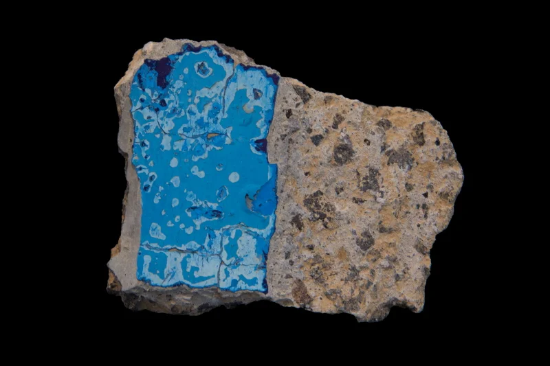
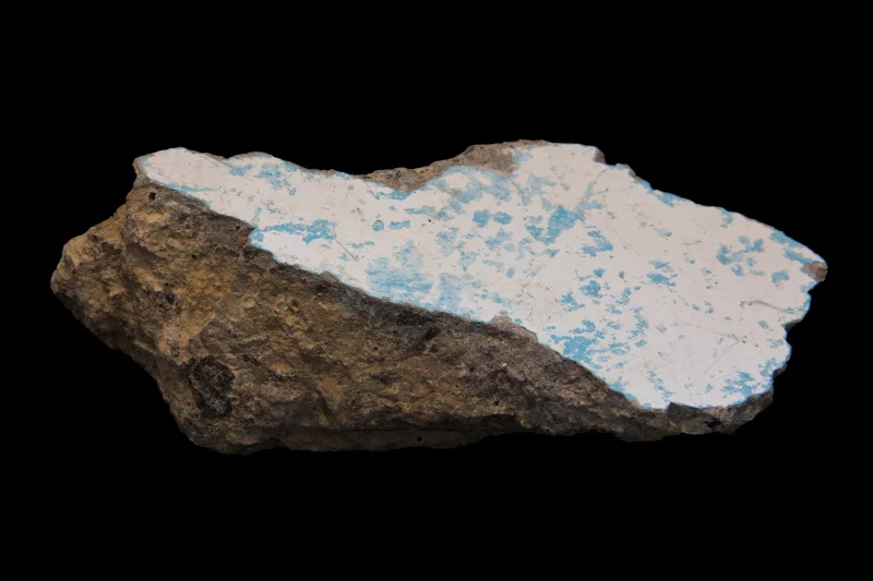
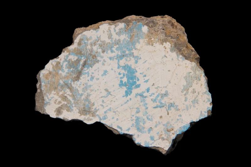
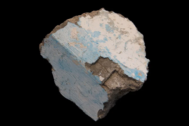
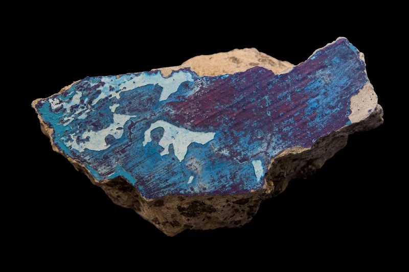
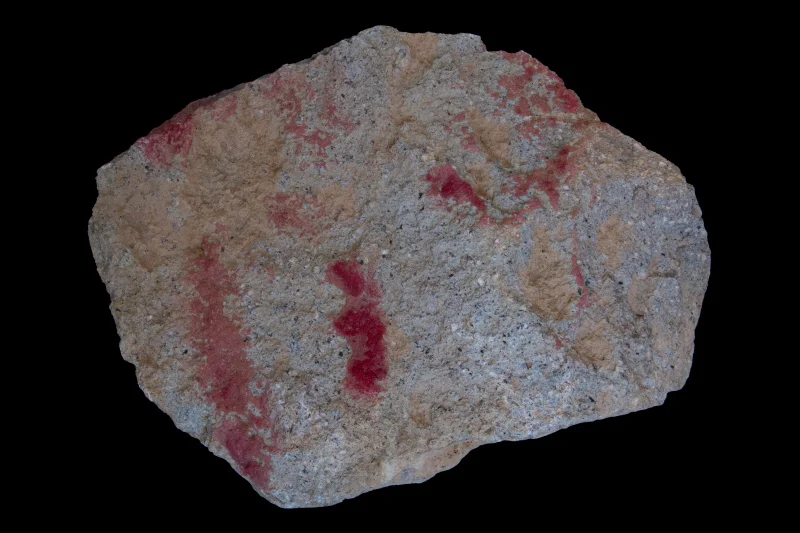
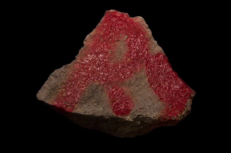
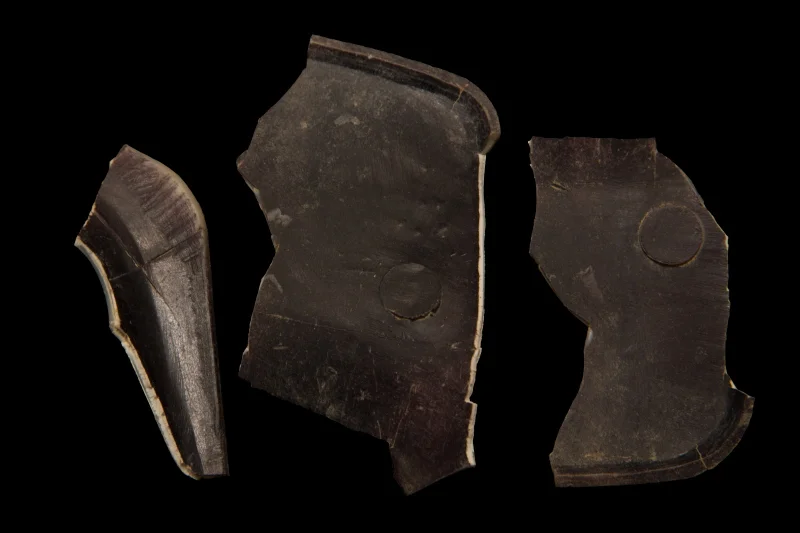
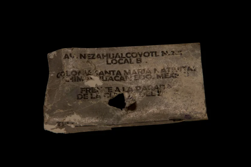
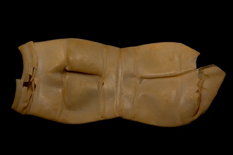
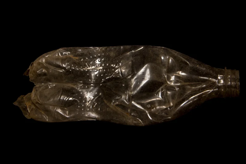
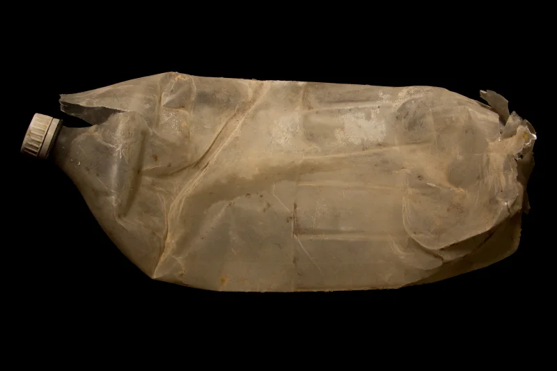
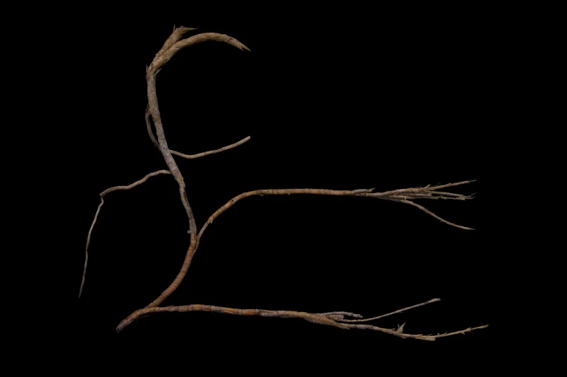
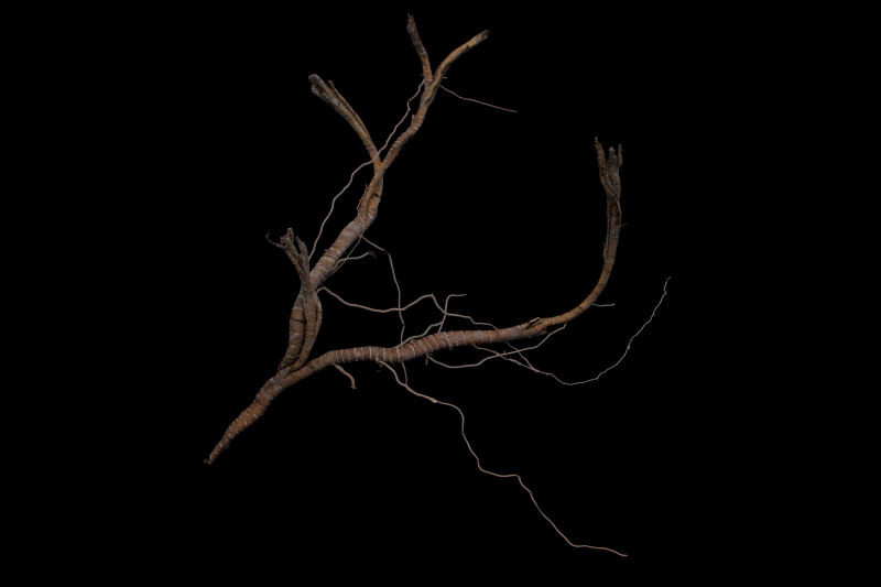
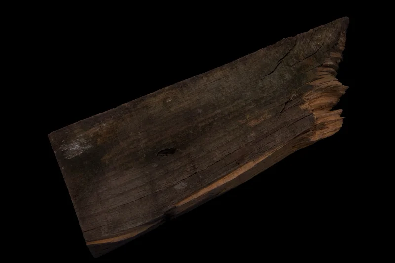
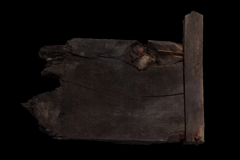
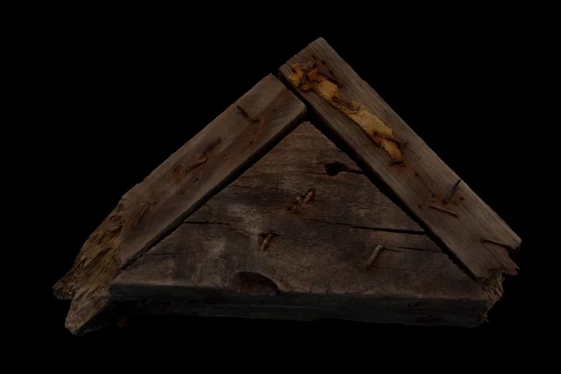
Diverse materials and residues show how humans have transited through the southern edge of Lake Nabor Carrillo.
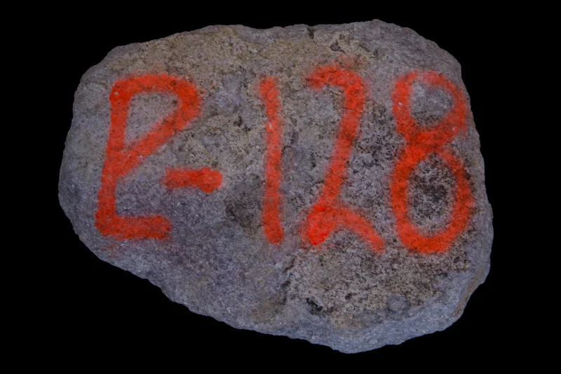
19°27'18.5"N 98°58'11.1"W
Diverse materials and residues show how humans have transited through the southern edge of Lake Nabor Carrillo.
19°27'18.5"N 98°58'11.1"W
Diverse materials and residues show how humans have transited through the southern edge of Lake Nabor Carrillo.
19°27'18.5"N 98°58'11.1"W
Diverse materials and residues show how humans have transited through the southern edge of Lake Nabor Carrillo.
19°27'18.5"N 98°58'11.1"W
Diverse materials and residues show how humans have transited through the southern edge of Lake Nabor Carrillo.

19°27'18.5"N 98°58'11.1"W
Diverse materials and residues show how humans have transited through the southern edge of Lake Nabor Carrillo.
19°27'18.5"N 98°58'11.1"W
Diverse materials and residues show how humans have transited through the southern edge of Lake Nabor Carrillo.
19°27'18.5"N 98°58'11.1"W
Diverse materials and residues show how humans have transited through the southern edge of Lake Nabor Carrillo.
19°27'18.5"N 98°58'11.1"W
Diverse materials and residues show how humans have transited through the southern edge of Lake Nabor Carrillo.
19°28'39.5"N 98°55'06.1"W
Farmers occupying this land before it was purchased by Mexican Government's Comisión Nacional de Agua, plowed the earth to plant their crops: in the middle of said ploughs fragments of prehispanic ceramic emerged. A watchhouse was built on a nearby mound which is allegedly an archeological ruin.

19°27'25.3"N 98°59'56.6"W
Site of an agricultural project intending to breed chicken, which lasted for two years. The resulting farming constructions were later repurposed as storage facilities for tools and machinery.
19°28'39.5"N 98°55'06.1"W
Farmers occupying this land before it was purchased by Mexican Government's Comisión Nacional de Agua, plowed the earth to plant their crops: in the middle of said ploughs fragments of prehispanic ceramic emerged. A watchhouse was built on a nearby mound which is allegedly an archeological ruin.